Collecting data
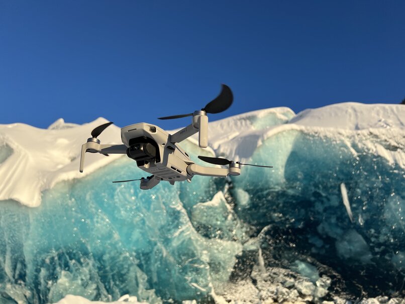
I - Drône
Geomatyx carries out data collections by drone in the field of environment.
Types of collected data:
- 1 - Photographs or videos of a landscape
- 2 - LiDAR data
- 3 - Photographs or videos of infrared radiation
Examples of use:
- 1 - Photographs can be used to create DTMs through photogrammetry or to perform supervised classifications.
- 2 - LiDAR data can be used to create a DTM.
- 3 - Photographs combined with infrared radiation can be used to analyze thermal losses from a building.
II - Samples collection
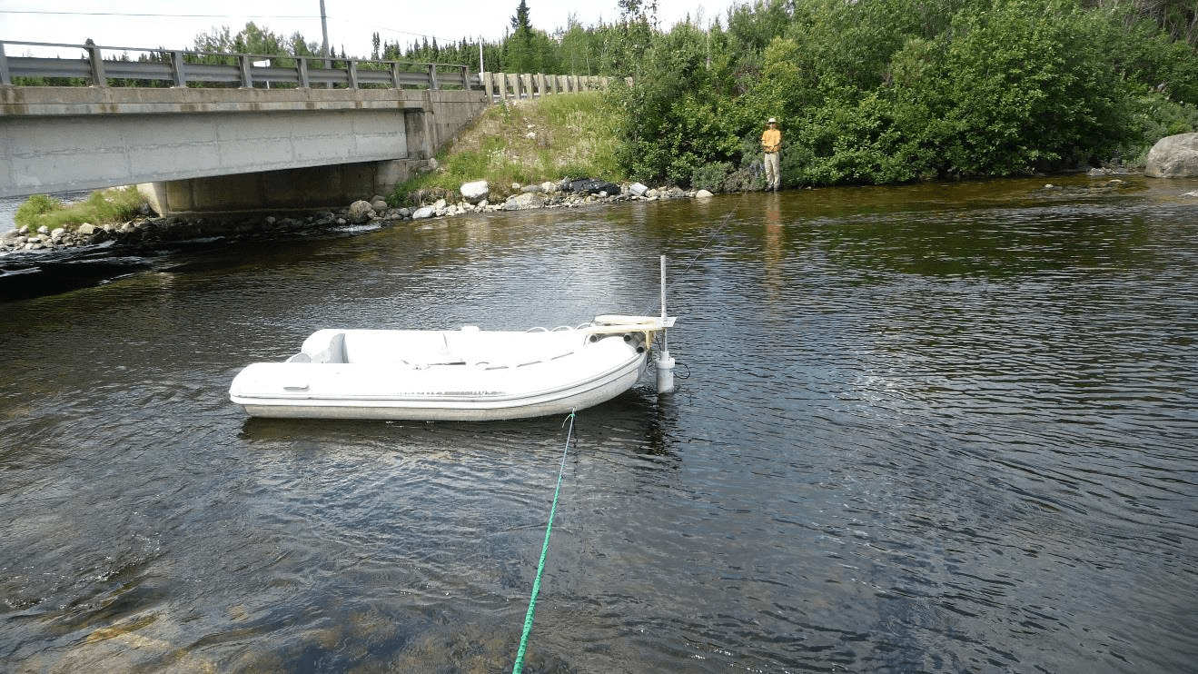
Flow rate measurement with an ADCP on a river in a watershed of James Bay
Geomatyx carries out sample collection, particularly in the fields of hydrogeology and glaciology.
The collected data may include the following:
- - flow rate measurement
- - pH measurements
- - conductivity measurements
However, the analyses are not conducted by the company.
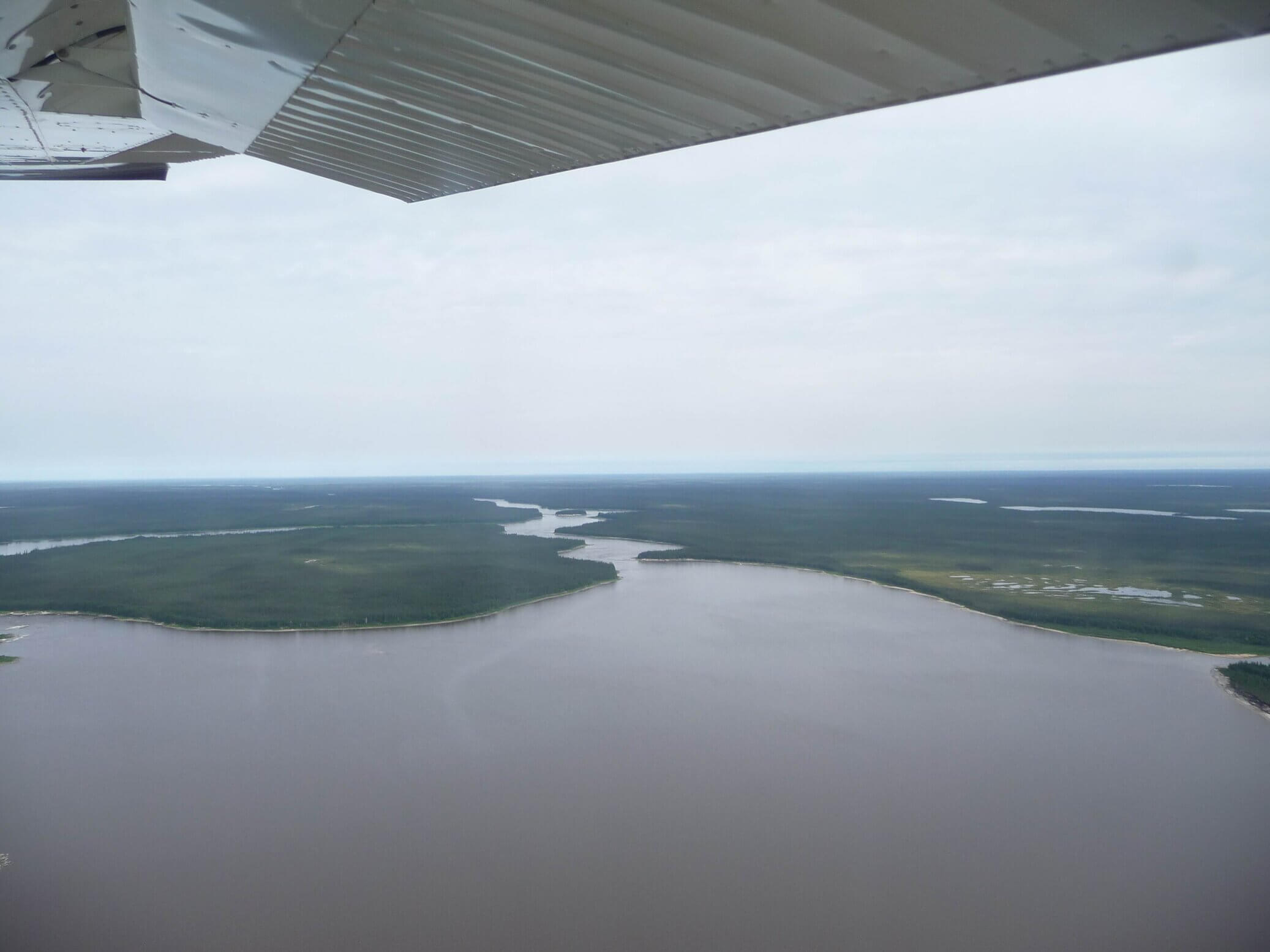
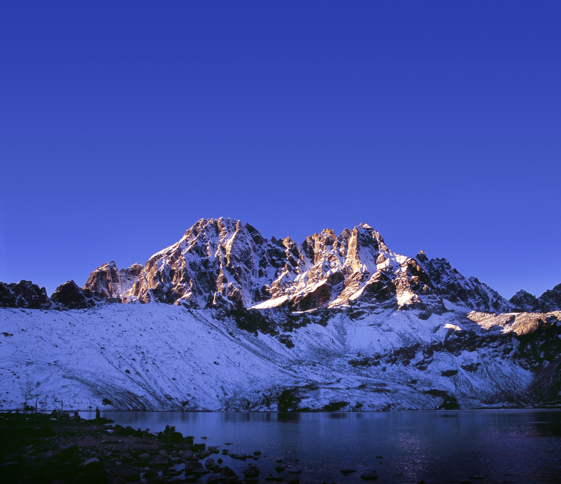
III - Data collection in difficult-to-access environments
Geomatyx has expertise in collecting data in natural environments known as 'difficult-to-access,' such as high mountains, polar lands, and deserts.
This expertise is the result of a passion for these environments.
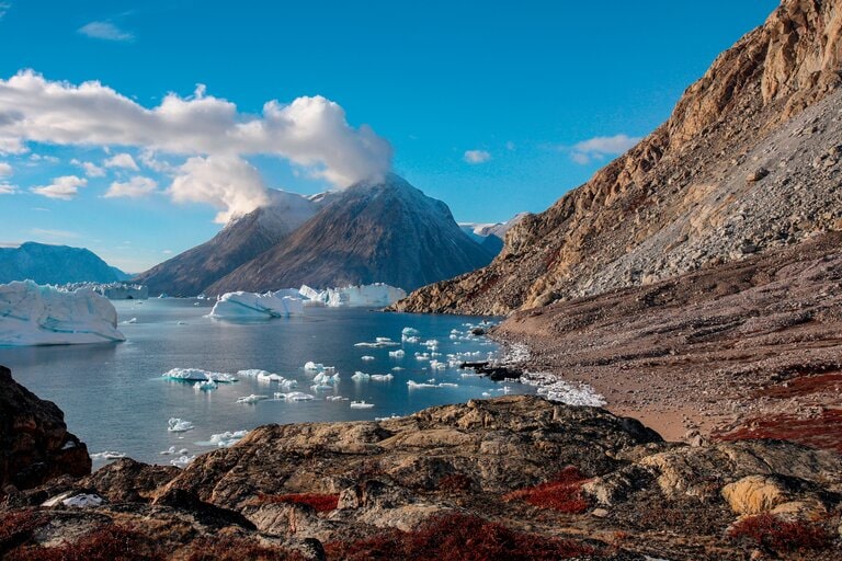
Scoresbysunf Fjord in Groenland