3D representation
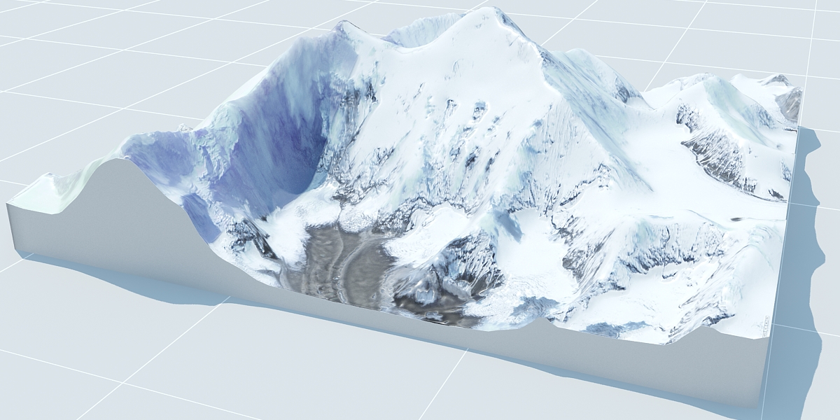
I - 3D photogrammetry
Geomatyx models Digital Terrain Models (DTMs) using 3D photogrammetry technique. This method allows creating 3D or 2.5D models from images using the parallax principle.
For photographic capture, drones are often preferred as they provide excellent shots and reduce costs. However, it is also possible to use other methods such as satellite or ground-based photography. Each of these solutions has advantages and disadvantages depending on the object of study.
Finally, it is thanks to photogrammetry software that a 3D model is generated.
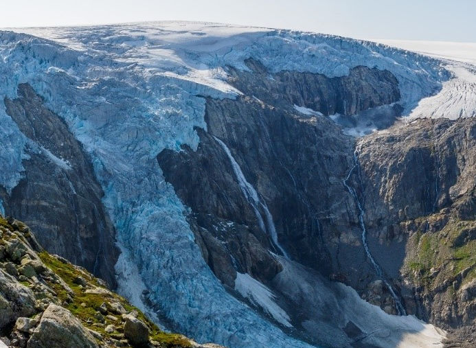
Evolution of the 3 ice caps of the Folgefonna glacier over time
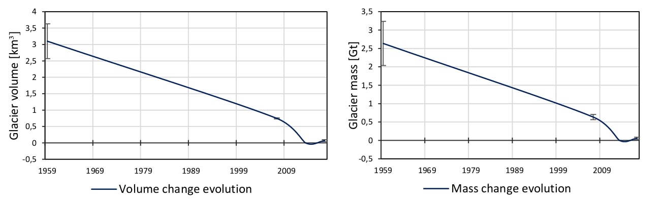
II - Co-registering, error and calculation of DEM evolution over time
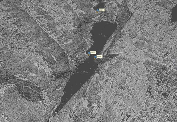
Calculation of error based on slope and terrain curvature for the Folgefonna glacier.
Geomatyx has developed software to facilitate the use of DTM analysis tools. The software enables:
- - co-registering
- - errors calculation
- - interpolation
- - evolution of the observed entity over time
Geomatyx offers its expertise on these various analysis methods, for example, for the study of:
- - Evolution of glacial areas
- - Erosion
- - Evolution of biomass